
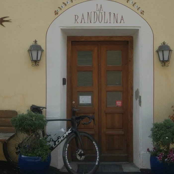
Your day outdoors starts at La Randulina
Breakfast together, then walking boots on or out on your bike. From our lodge in Ramosch, discover the Engadin at your own pace. We are happy to share our favourite routes, from a gentle outing along the Inn to a day in the mountains. Afterwards, come home to a cosy welcome at La Randulina.
Explore the walks · Explore the cycling routes · Walking in Val Sinestra
Walking routes near Ramosch, Vnà and Scuol
Easy · circular walk
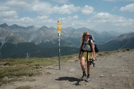
Vnà Panoramaweg
2,3 km · 0:45 h
↑ 108 m · ↓ 108 m
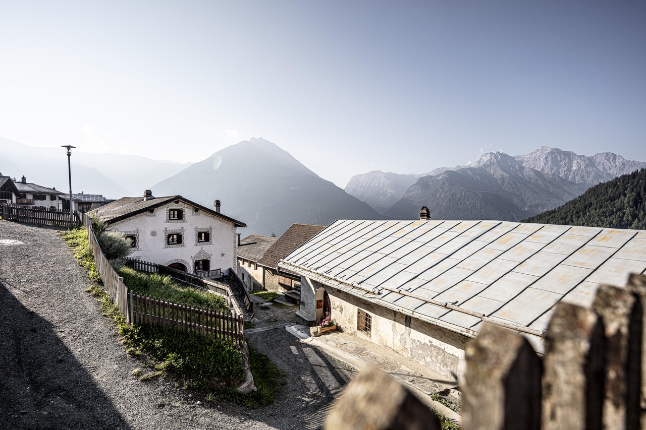
A short loop above Vnà, through the woods with views across the valley. Lovely when you just want a little time outside. You start and finish in Vnà; add the journey from Ramosch.
Easy · one way
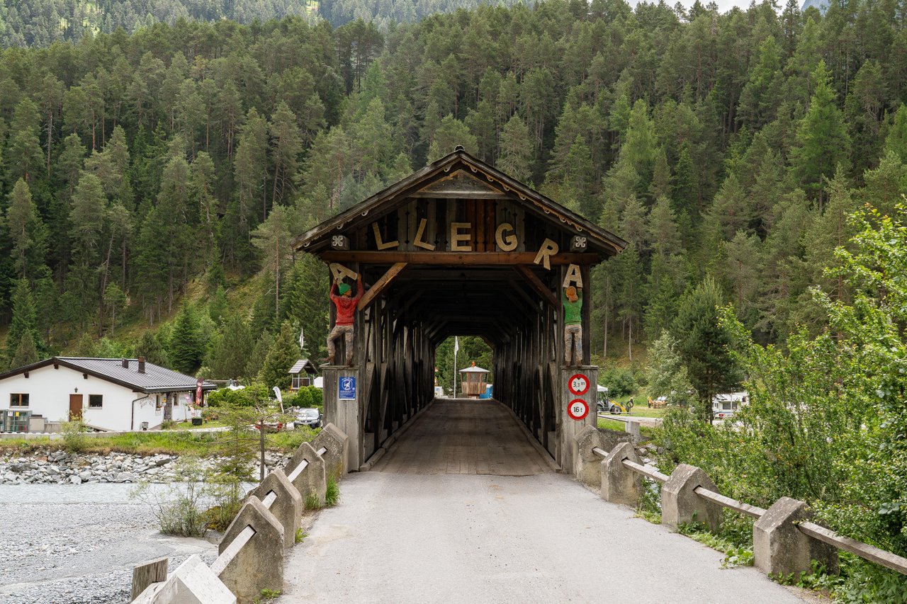
Ramosch – Sur En
2,7 km · 0:45 h
↑ 12 m · ↓ 77 m
Follow the Inn to Sur En on a short walk for a quiet part of the day. The official route starts at Ramosch, Fermada, down by the main road. The walk down from the lodge and your return are extra.
Moderate · one way
Vnà – Ramosch
6,6 km · 2:00 h
↑ 53 m · ↓ 438 m
Travel to Vnà first, then walk back to Ramosch with views across the Lower Engadine. A lovely choice for a longer walk. Plan your outward journey to Vnà separately.
Moderate · one way
Val Sinestra suspension bridge trail – Zuort – Griosch – Vnà
11 km · 4:15 h
↑ 494 m · ↓ 373 m
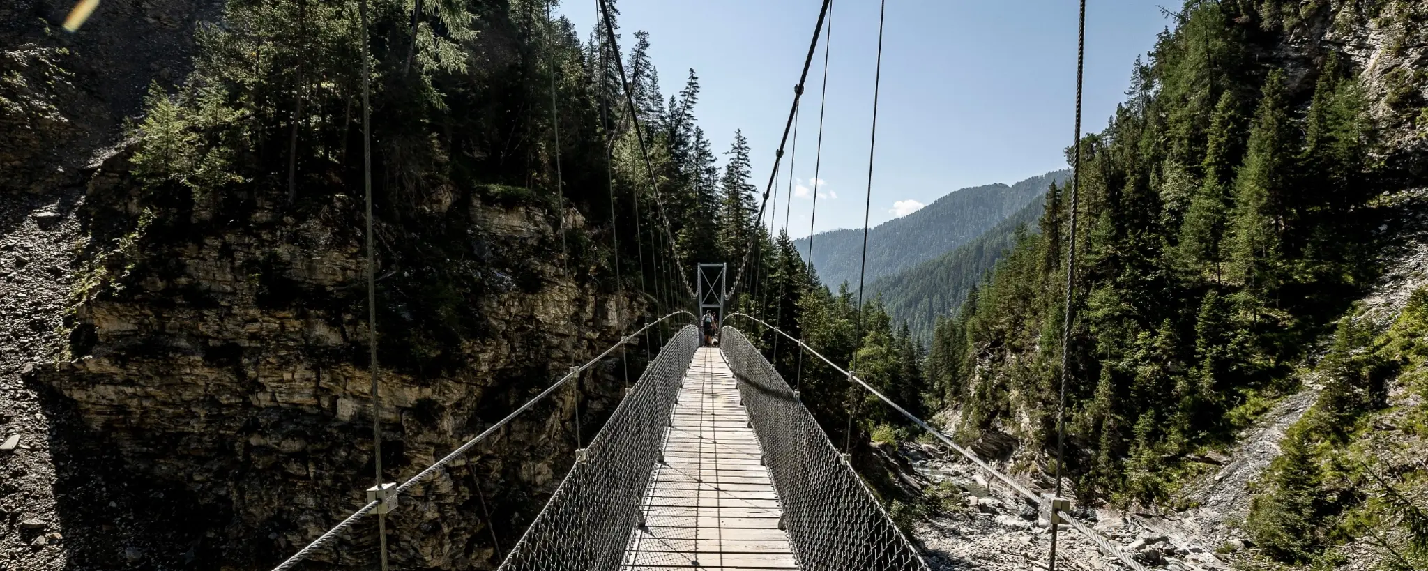
Woodland, suspension bridges and the open meadows around Zuort and Griosch. Take your time with this one. The figures cover Val Sinestra to Vnà, not the longer start from Sent. Plan travel at both ends.
Easy · circular walk
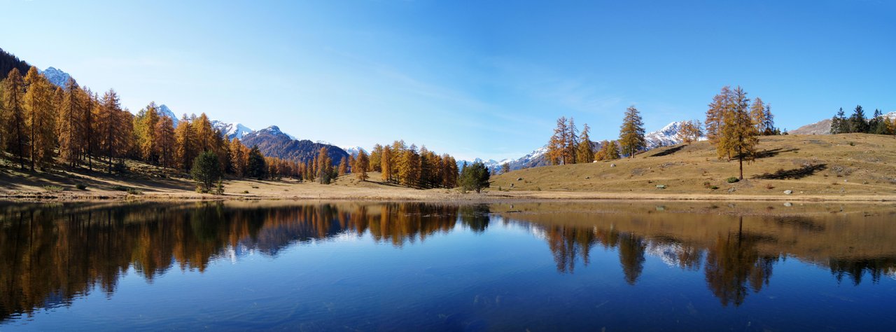
Tarasp – Sparsels – Lai Nair
7,7 km · 2:45 h
↑ 257 m · ↓ 257 m
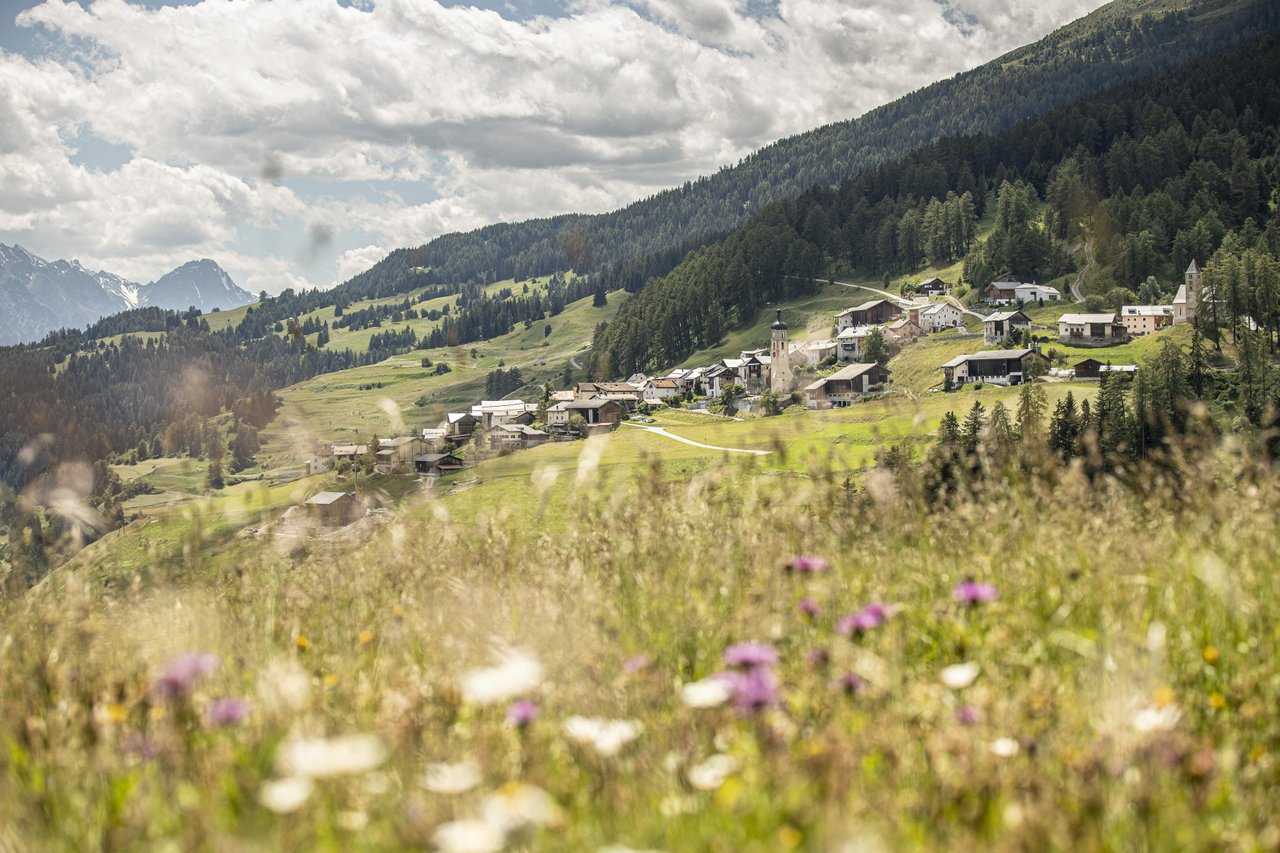
Walk via Sparsels and the Kreuzberg viewpoint to Lai Nair. Pack something tasty and find a spot beside the water. The loop starts and finishes in Tarasp, Fontana; add the journey from Ramosch.
Moderate · one way
Vnà – Tschlin
8,4 km · 2:30 h
↑ 246 m · ↓ 358 m
From Vnà, follow the sunny slopes towards Tschlin, past meadows and through Val Ruinains. Leave a little time to explore the village at the end. Start in Vnà and plan your outward journey and return bus from Tschlin separately.
A day out from La Randulina
Walk in Val Sinestra, stay in Ramosch
Suspension bridges above the Brancla, woodland paths and meadows around Zuort and Griosch: discover Val Sinestra on your walking holiday in the Lower Engadine. La Randulina is your small, welcoming base in Ramosch.
Is the suspension bridge trail right for you?
The moderate walk from Val Sinestra via Zuort and Griosch to Vnà covers 11 km, with around 4¼ hours of walking and 494 metres of ascent. Allow a full day including breaks. With children, consider walking experience, fitness and confidence on suspension bridges. Prefer something shorter? See the Vnà Panoramaweg or Ramosch–Sur En above.
How do you get there from the lodge?
Plan your journey from Ramosch to Val Sinestra and back from Vnà using the current public transport timetable. The bus service to Val Sinestra is seasonal: in winter, the PostBus only runs as far as Sent. Starting in Sent makes the walk considerably longer. Check the weather and current route information before setting off.
Come home after your walk
Start with breakfast at the lodge, and let us help you choose a suitable walk. The regional guest card is included. Travelling with children? Explore our family rooms and playroom.
From valley rides to mountain trails
Cycling through the Engadin
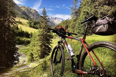
Follow the Inn, take a loop through Sent or head into the mountains on your bike. Choose from six cycling routes below, from a relaxed valley ride to a full day out.
Easy · gravel · one way
Scuol – Martina
- Distance
- 20,2 km
- Riding time
- 1:10 h
- Elevation
- ↑ 111 m↓ 318 m
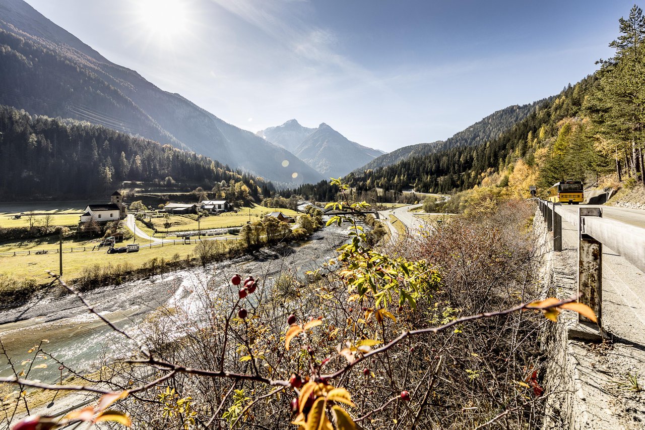
From Scuol, follow the Inn to Martina through the valley. This official route is one way. Arrange your journey to Scuol and back from Martina, checking bicycle transport before setting off.
Moderate · MTB · substantial climbing
Ramosch – Sent
- Distance
- 35,1 km
- Riding time
- 5:20 h
- Elevation
- ↑ 1416 m↓ 1416 m
A long loop from Ramosch, Plaz, via Vnà, Zuort and Sent, returning through the valley. Expect steep climbs and a full day out. The official rating is moderate; the 1,416 metres of ascent require good fitness.
Short loop · 275 m ascent
Scuol – Sent – Scuol
- Distance
- 14.6 km
- Riding time
- 0:55 h
- Elevation
- ↑ 275 m↓ 275 m
A shorter cycling loop through the Engadine village of Sent. The climb makes it more demanding than a flat valley ride. Start and finish in Scuol; travel from Ramosch is extra. Check the official map for the exact course and surface.
Moderate · MTB · loop
Sinestra Singletrail from Sent
- Distance
- 13 km
- Riding time
- 2:00 h
- Elevation
- ↑ 380 m↓ 393 m
From Sent, take natural tracks and a singletrail towards Val Sinestra, returning to Sent. For riders who enjoy narrower trails. Travel from Ramosch to Sent is not included in the figures.
Moderate · MTB · loop
Vulpera – Tarasp – Lai Nair – Vulpera
- Distance
- 18 km
- Riding time
- 2:30 h
- Elevation
- ↑ 640 m↓ 640 m
A varied loop via Tarasp and Lake Lai Nair, starting and finishing in Vulpera. It includes a technical singletrail; the official description suggests a forest-road alternative. Plan your journey from Ramosch to Vulpera separately.
Difficult · MTB · loop
Senda da Muglin Bike: Sent – Vnà – Sur En – Sent
- Distance
- 29.7 km
- Riding time
- 3:30 h
- Elevation
- ↑ 833 m↓ 833 m
A longer loop from Sent through Val Sinestra and Vnà to the valley at Sur En, then uphill back to Sent. For experienced mountain bikers with good fitness. The connection from Ramosch is outside these route figures.
Cycling routes from Ramosch
Two ideas from us, starting and finishing at La Randulina. Riding times are approximate: leave time for the views and a lovely break along the way.
Lodge suggestion · gravel / e-bike
Cycling from Ramosch to Sur En
About 1–1½ hours riding · out and back
Head down to the Inn and take a break by the wooden bridge at Sur En. Ride from Ramosch into the valley, then return the same way after your outing. Save some energy for the climb back to the lodge; an e-bike makes it a little easier.
Lodge suggestion · gravel / e-bike
Cycling from Ramosch to Scuol
About 2½–3½ hours riding · out and back
Follow the Inn via Sur En and Pradella to Scuol. Leave your bike for a stroll through the old village or a stop at a café. Ride back the same way, finishing with the climb up to Ramosch.
Included with your stay
Make more of your stay
The regional guest card lets you explore the area by bus and train. Handy for walking from one village to another. We are happy to help you plan a lovely day outdoors.